US Map Series 1 (19??).
[EPS ZIP (155k)]
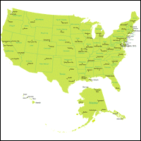
United States (color)
[EPS ZIP (104k)]
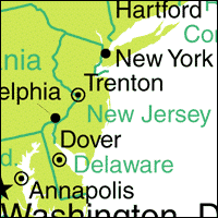
United States (color, text removed)
The source map for this set originally came from the CIA. I ripped all of the statistical information and other countries off it, inflated San Miguel Island so it was more than a one-dimensional sliver, fixed the fonts, and removed extraneous lines. Unfortunately this map was created in that data-intensive "five million anchor points" method, so even straight lines are represented by tons of points. Eventually there will be a whole new set of US maps available here that aren't as data-intensive and have the outline of the US as a joined line (here the lines are each of the state outlines, which means if you want just one state, you can go in and pull it out!), but don't hold your breath.
You can find lots of maps here. The UN also has lots of PDF maps, but they're copyrighted.